Walking itinerary: Tour of Mont de Grange from Abondance

  • Sport
  • Pedestrian sports
  • Hiking itinerary
Elevation : 1400m
Parking Saint Théodule, 74360 Abondance

Description

Mont de Grange is a Natura 2000 and hunting reserve. This hike enables to discover a nature shared between wildlife and alpine pastures. This itinerary offers you beautiful views of Abondance, La Chapelle d'Abondance and Châtel.
The Mont de Grange tour is a hike for experienced walkers. Mont de Grange is a 3,000-hectare nature reserve, classified Natura 2000. It's also a hunting reserve where deer, chamois, roe deer, mouflons, marmots, black grouse, ptarmigan, golden eagles... all live side by side. You can easily observe them early in the morning. This hike also invites you to discover wild flora such as martagon lily, paradise lily, alpine columbine, gentian and genepi. Departing from Chapelle Saint Théodule, you'll take a mountain path to the Lenlevay viewpoint, passing the Bailly and Jouly mountain chalets. You'll meet Abondance cows on these mountain pastures during the summer season. A beautiful panorama of Abondance and Châtel awaits you. From Lenlevay, take the GR5 path via the Etrye, Pron and Mattes chalets. You'll skirt the Pointe des Mattes and then descend to the Terbentaz chalet. You will then reach L'Enquernaz pat la Plaine Joux and finally the starting point. On the way back, you'll pass through a number of local villages and discover the traditional houses of Charmy l'Adroit in Abondance. Alternatives: The summit of Mont de Grange can be reached via the Coincon ridge. Possible departures from Chapelle Saint Théodule in Abondance or Tré-les-Pierres in Châtel. Marking details : Departmental markings called P.D.I.P.R. on beige metal panels with green lettering. Map references : - Map-guide 65 walks and hikes in the Evian-Abondance valley region - Map of Portes du Soleil hiking trails in France and Switzerland - TOP 25 IGN N°3528 ET Morzine Massif du Chablais Les Portes du Soleil Whatever your hike, remember to pack cereal bars, plenty of water, sunglasses, sunscreen, a small first-aid kit, and clothing appropriate to the season and weather forecast.
  • Guidebook with maps/step-by-step
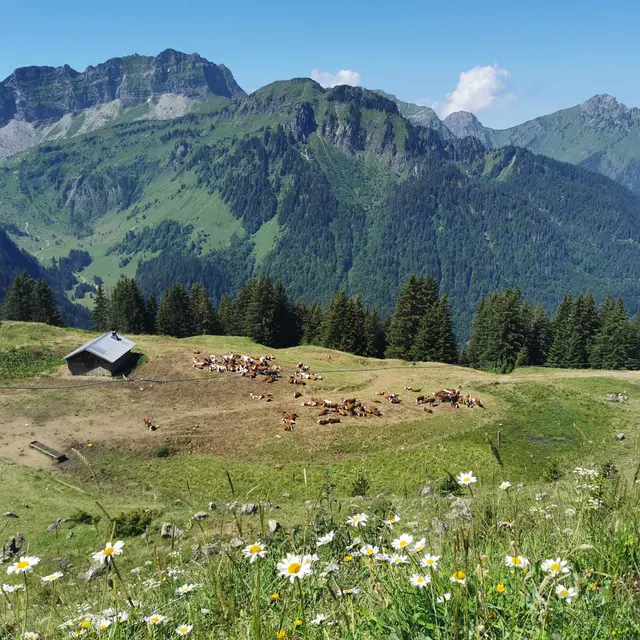
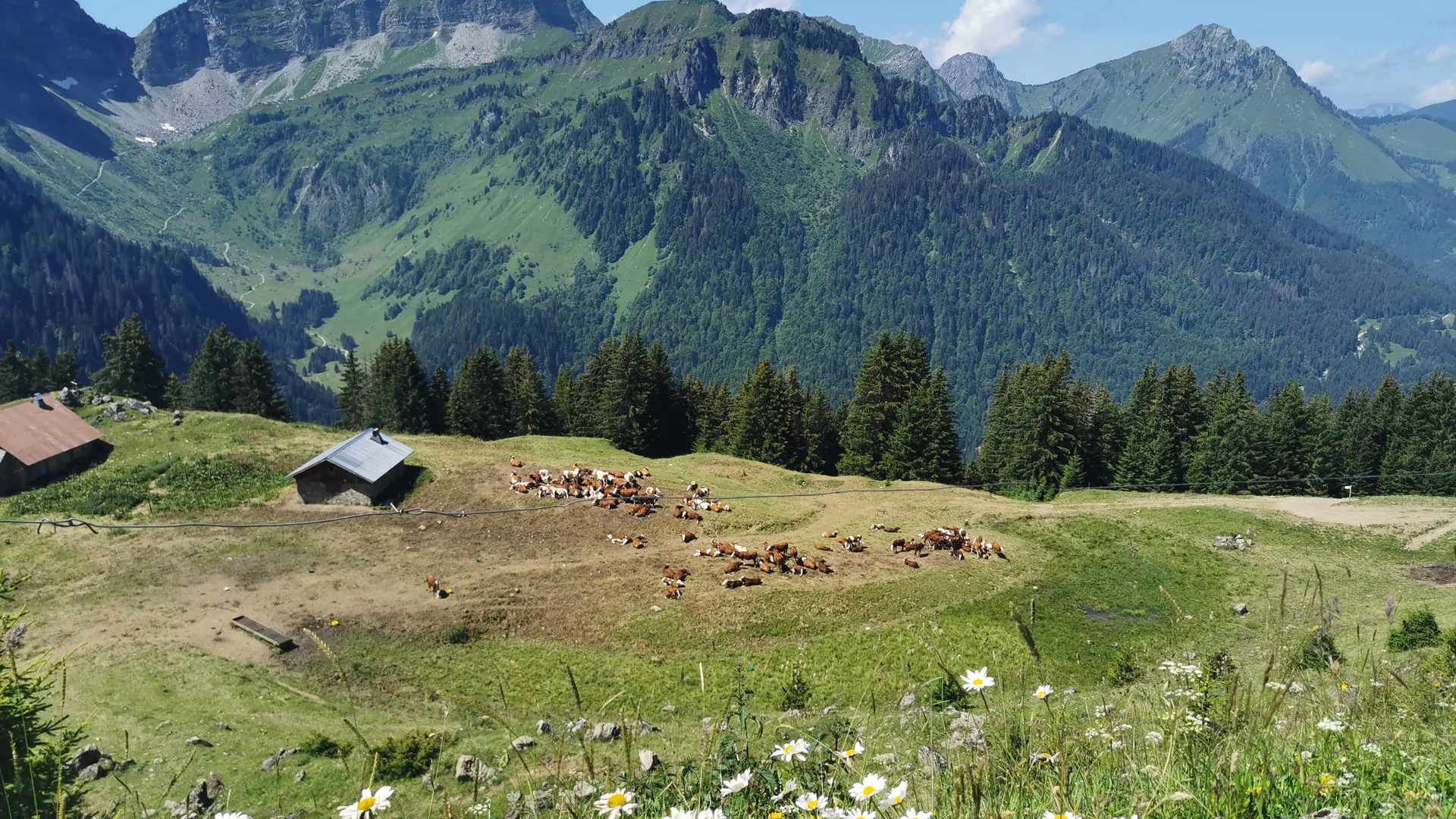
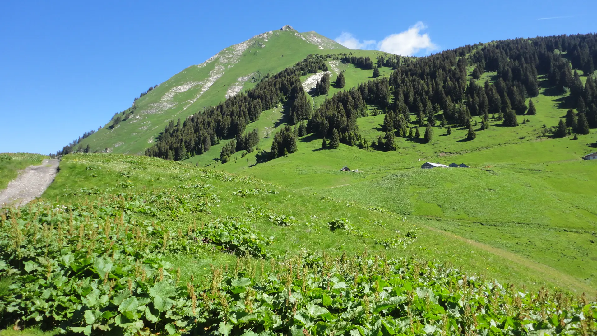
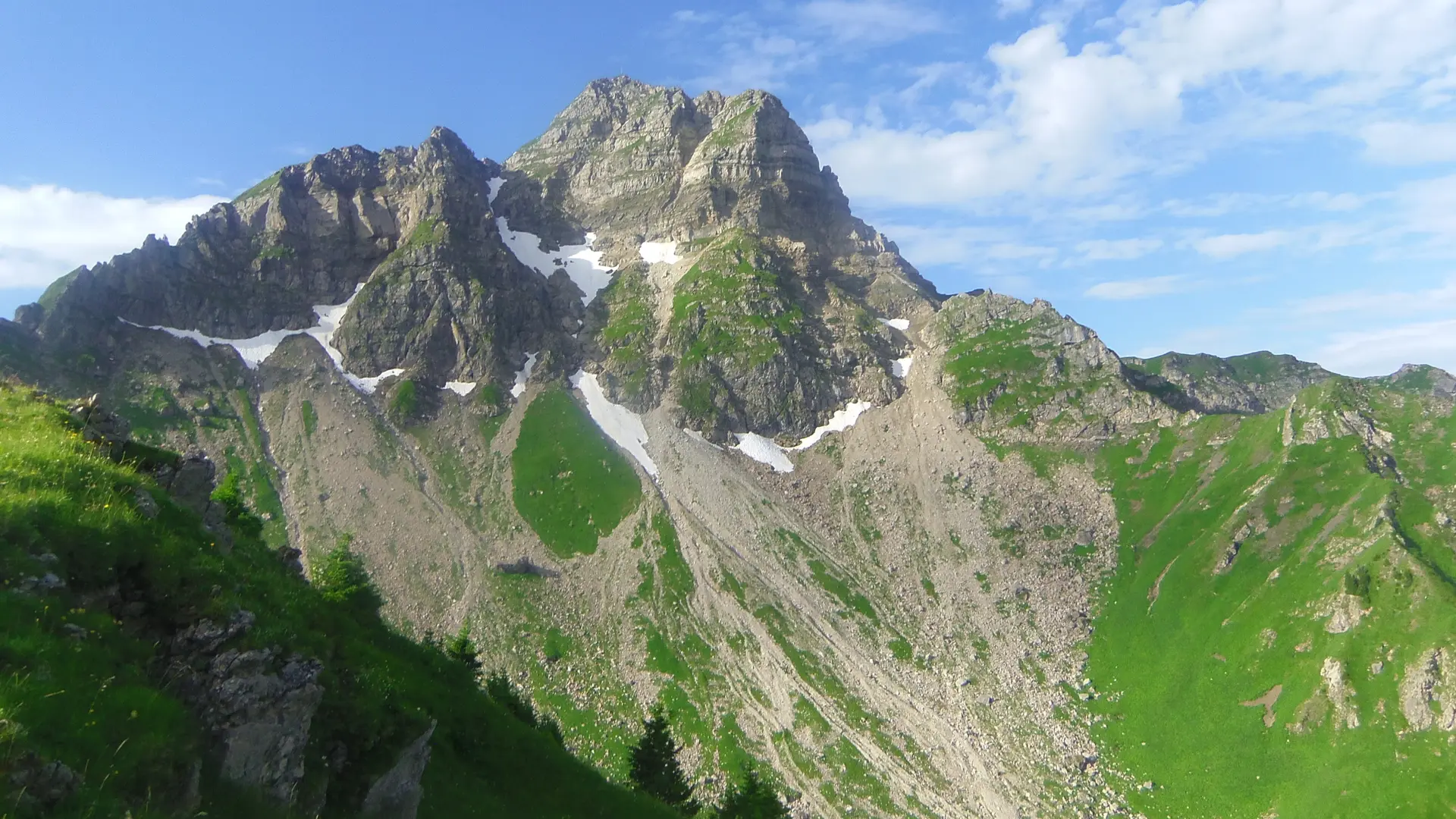
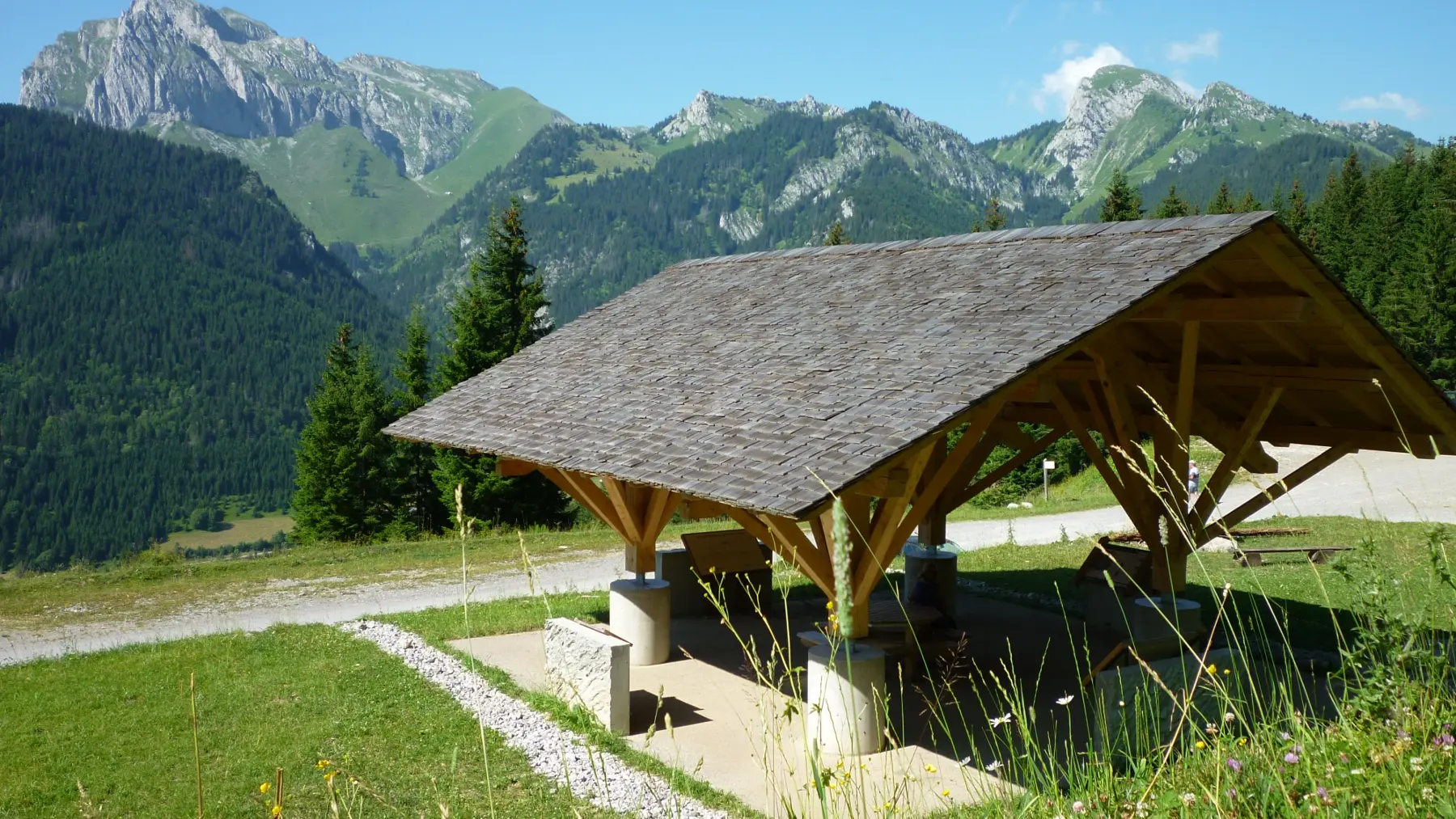
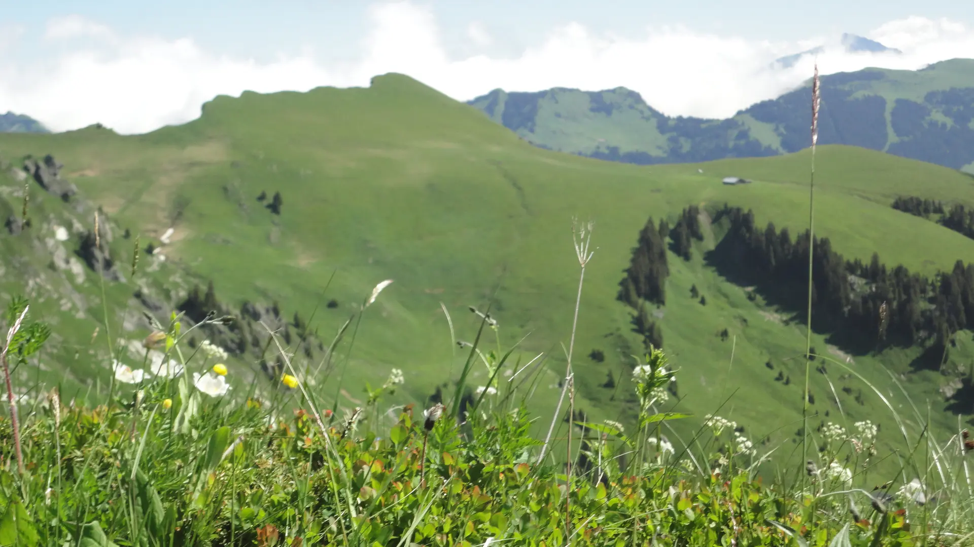
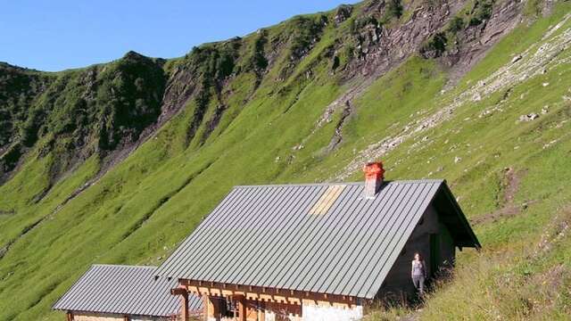
    0/ Departure point: Chapelle Saint-Théodule. 1/ Head towards "Lenlevay", passing "Chalets du Bailly" and "Chalets du Jouly". 2/ At "Lenlevay", turn left onto the GR5 path that passes through the chalets towards "l'Etrye". At this point, you can reach the summit of Mont de Grange (variant). Pass the chalet and then the Etrye stream. The path then climbs up to the "Pron" chalets, then to "Les Mattes". 3/ Then head for "Chalet de Trebentaz". Continue downhill past the "La Corpe" viewpoint and join the gravel path to "L'Enquernaz". You cross the La Chapelle d'Abondance ski area and the "Plaine Joux" mountain pasture. 4/ At "L'Enquernaz", descend towards "Leschaux" and "Saint-Théodule", then return to the starting point.
Plain text period
From 01/06 to 15/10 daily.
Check with your local tourist office for current access conditions.

Subject to favorable snow and weather conditions.

Services

Car park
Animals accepted

Accessibility

Not accessible in a wheelchair

Environment

  • Mountain view
  • Mountain location
  • Close to GR footpath
  • Panoramic view
Filter search
Page types
  • All
  • Articles
  • Agenda
  • Lists