Walking route: Trébentaz circuit from Plan des Feux

  • Sport
  • Pedestrian sports
  • Hiking itinerary
Elevation : 1270m
Parking du Plan des Feux, Route du Clos Baron, 74360 La Chapelle-d'Abondance

Description

In the heart of the Mont de Grange hunting reserve, you will follow forest paths to reach the Trebentaz refuge. Magnificent views of the Valais and Vaud Swiss Alps await you.
A pretty hike of difficult difficulty in the Mont de Grange reserve, a Natura 2000 reserve and hunting reserve, where 300 hectares of nature are preserved, a refuge for remarkable wildlife: chamois, mouflons, roe deer, stags, wild boar, marmots, golden eagles, capercaillie, etc., and a varied flora with some rare species: alpine columbine, Martagon lily, Paradise lily, bear-eared primrose. From Plan des Feux, follow the forest track towards Louennaz, then head for the refuge de Trébentaz. The refuge is a stage on the GR5. You can enjoy an exceptional panorama during a well-deserved lunch break! From the hut, take a small trail to the "Altitude 2,020 m" sign, the highest point of the route and the best view of the Swiss Alps. The descent is via the Chalets d'alpage du Folliet through a combe. Return in the direction of Plan des Feux. Departures from the village: you can start the hike from Le Clos or Le Moulin. Count an extra 1h45 walking time. Marking details : Departmental markings called P.D.I.P.R. on beige metal panels with green lettering. Map references : - Map guide to 65 walks and hikes in the Evian region and Abondance valley - Map of walking routes in the Portes du Soleil area in France and Switzerland - IGN TOP 25 No. 3528 ET Morzine Chablais Massif Portes du Soleil Whatever your hike, remember to take cereal bars, sufficient water, sunglasses, sun cream, a small first aid kit, as well as clothes adapted to your outing according to the season and the weather forecast.
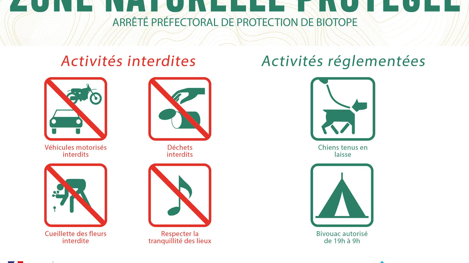
  • Guidebook with maps/step-by-step
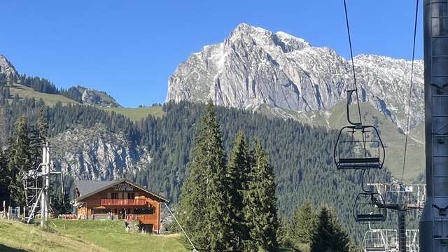
    0/ Start: Plan des Feux.
    1/ Take the forest track in the direction of Louennaz. Continue the track until you see the sign "Altitude 1550 m".
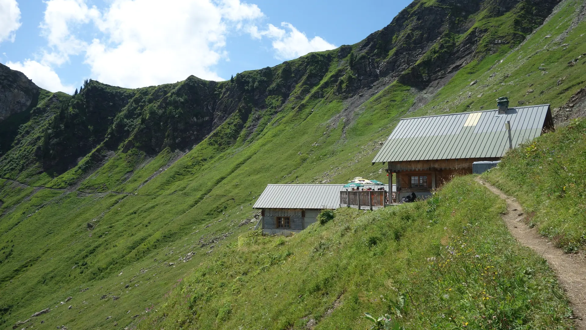
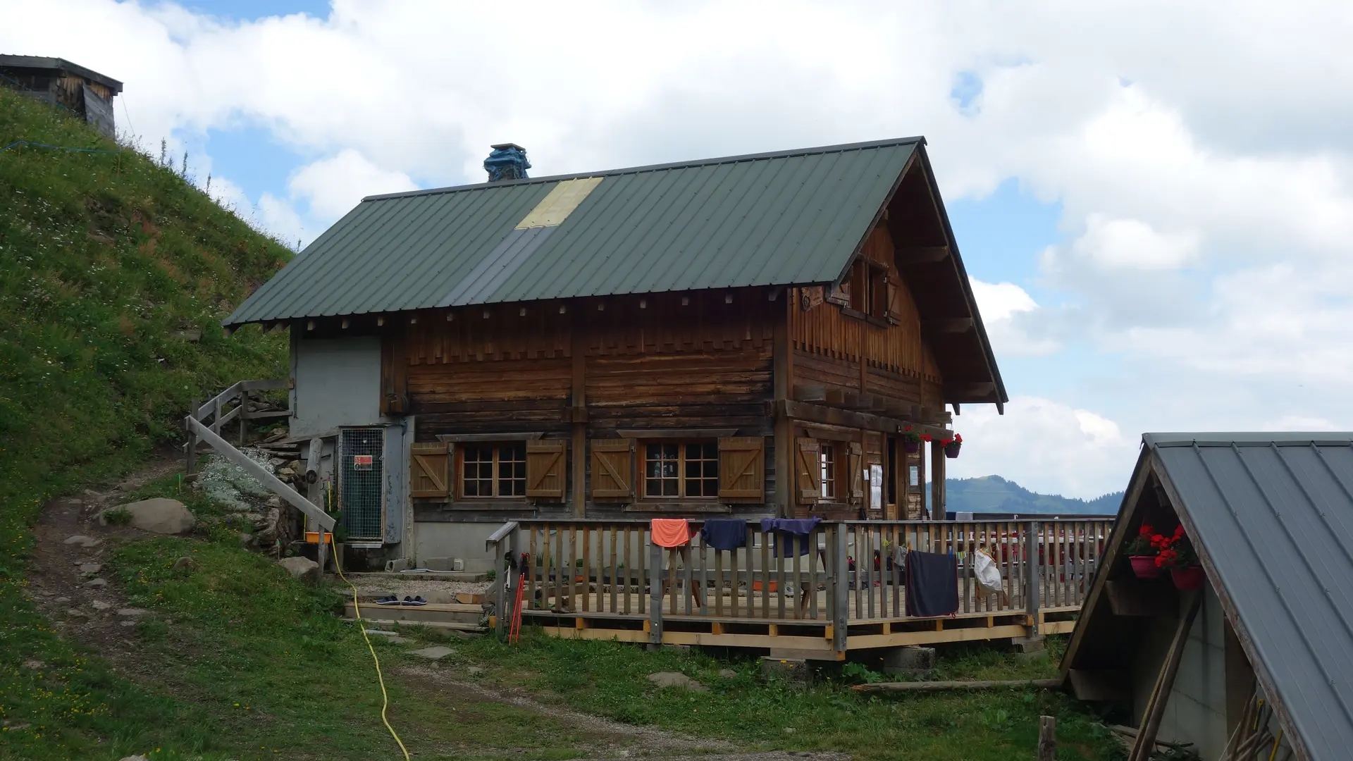
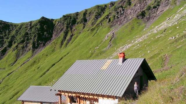
    2/ Then, on the right, take the small path that leads to the refuge of Trébentaz.
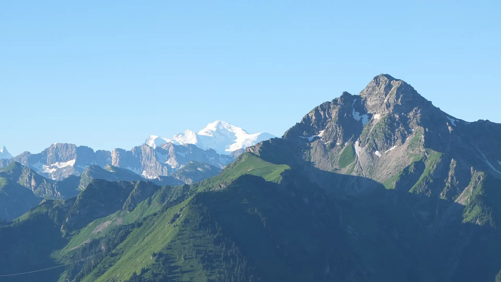
    3/ At the refuge, take the small path on the right, towards the sign "Altitude 2 020 m", the highest point of the route.
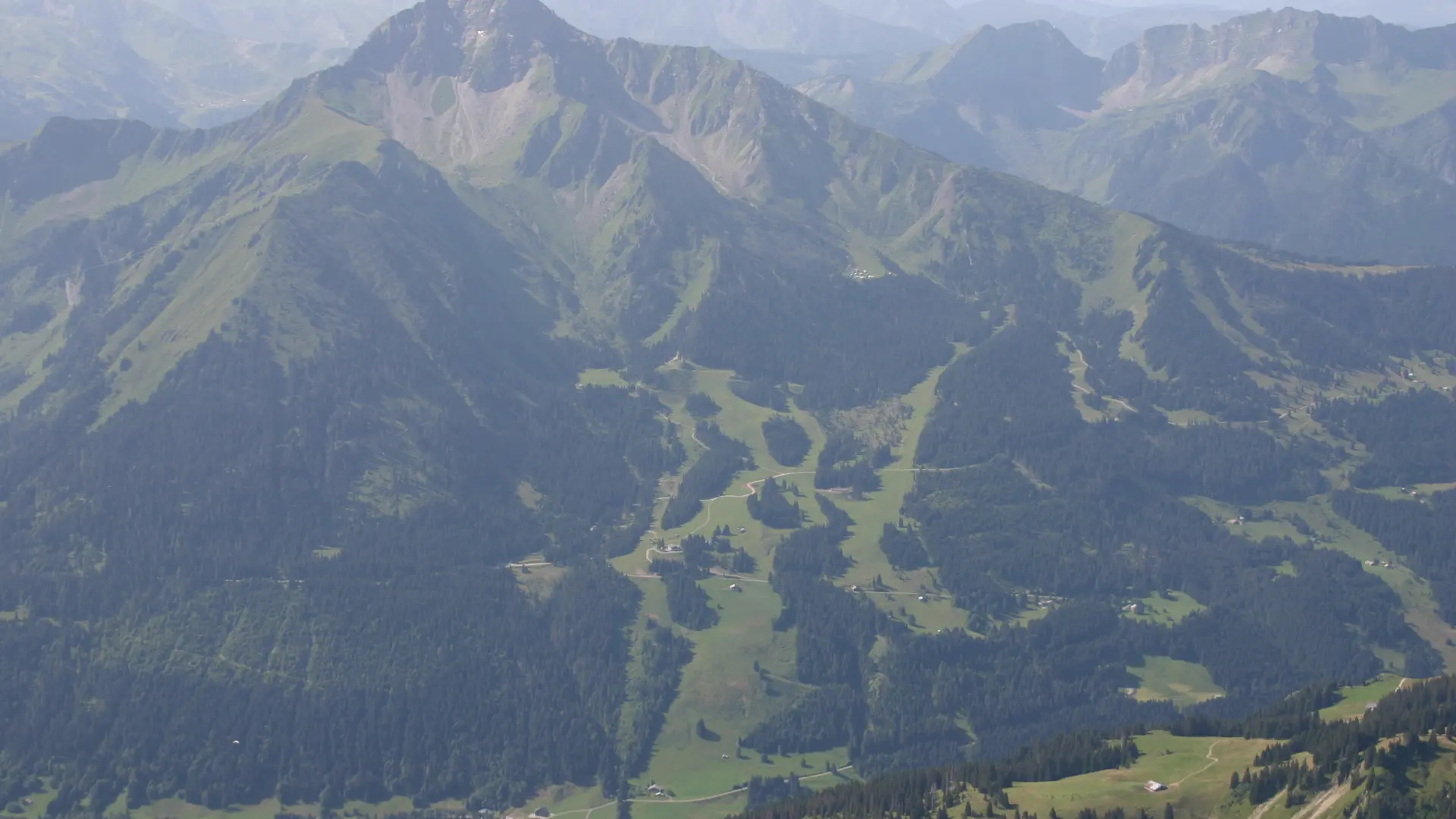
    4/ The descent is via the Chalets du Folliet through a valley.
    5/ Return to the Plan des Feux car park.

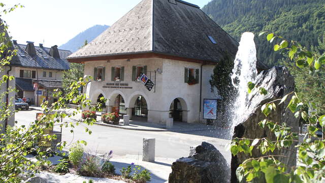
    6/ Variations from the village: 1. park at the Crêt-Béni car park. Take the Guéterlaz trail at the left of the restaurant "le Clos Savoyard", leading directly to the Plan des Feux.
    2. From the place called "le Moulin", take the direction of the cascade Sur Bayard by the G.R. 5, then follow "Refuge de Trébentaz".
Plain text period
From 01/06 to 15/10 daily.
Check with tourist offices in advance to find out the current access conditions.

Subject to favorable snow and weather conditions.

Services

Car park
Animals accepted

Accessibility

Not accessible in a wheelchair

Environment

  • Forest location
  • Mountain location
  • Close to a public transportation
  • Bus stop < 500 m
Filter search
Page types
  • All
  • Articles
  • Agenda
  • Lists