See photos (4)

Lake Tavaneuse from Les Plagnes

Sport, Pedestrian sports, Hiking itinerary in Abondance
11.9 km
4h
Hard
  • A discovery of the two lakes of Abondance: Les Plagnes and Tavaneuse, famous as the one of the most beautiful moutain lake of the Chablais!

  • This hike takes you to two mountain lakes: Lac des Plagnes (1190 m) and Lac de Tavaneuse (1806 m). You will cross the mountain pastures and discover their chalets and fountains.

    The hike starts at the Lac des Plagnes car park. Take the Cubourré trail. Then, take the direction of the chalets d'Ardens by passing of the pirons d'Entre Deux Pertuis which will lead you to the Lac de Tavaneuse.

    Once there, you can enjoy the lake and the clarity of its waters. A picnic is welcome to enjoy...
    This hike takes you to two mountain lakes: Lac des Plagnes (1190 m) and Lac de Tavaneuse (1806 m). You will cross the mountain pastures and discover their chalets and fountains.

    The hike starts at the Lac des Plagnes car park. Take the Cubourré trail. Then, take the direction of the chalets d'Ardens by passing of the pirons d'Entre Deux Pertuis which will lead you to the Lac de Tavaneuse.

    Once there, you can enjoy the lake and the clarity of its waters. A picnic is welcome to enjoy the place.

    The return journey is by the same route.

    Marking details : Departmental markings called P.D.I.P.R. on beige metal panels with green lettering.

    Map references : Portes du Soleil hiking map in France and Switzerland
    TOP 25 N°3528 ET Morzine Massif du Chablais Les Portes du Soleil
  • Sustainable tourism
    Following the work carried out on the Lac des Plagnes and its designation as a Sensitive Natural Area, the commune of Abondance has issued a decree (municipal decree N° 179/2025) aimed at limiting practices that degrade this ecosystem and ensuring the safety and peace of mind of visitors.

    Swimming in Lac des Plagnes, including for pets, and all water sports activities (except fishing) are strictly forbidden.
    Dogs must be kept on a leash and their owners must pick up after them.
    In a 200m zone around Lac des Plagnes, wild camping, bivouacs and campfires are prohibited day and night.

    Any infringement of this by-law will be recorded in an official report.
  • Guidebook with maps/step-by-step
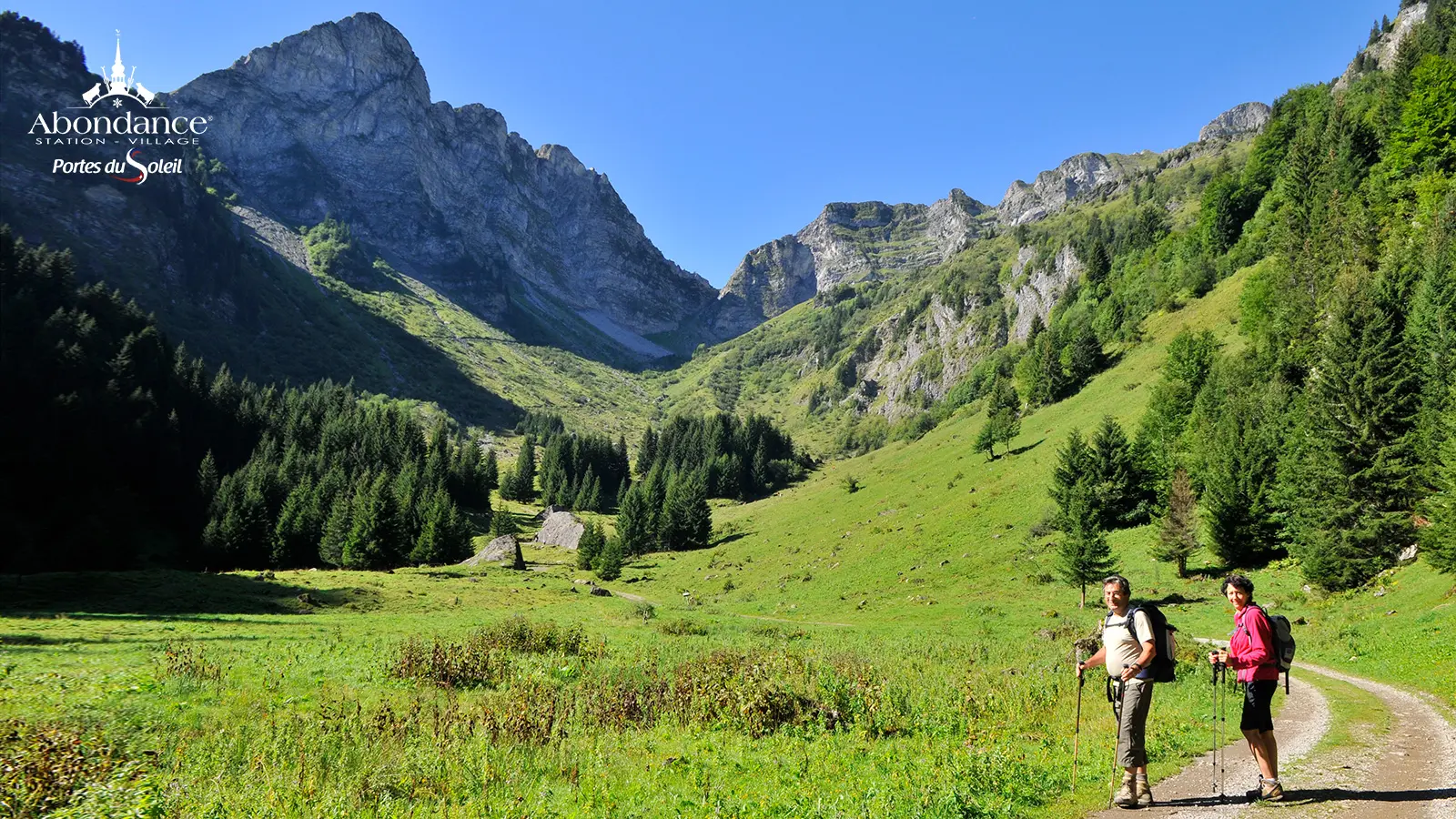
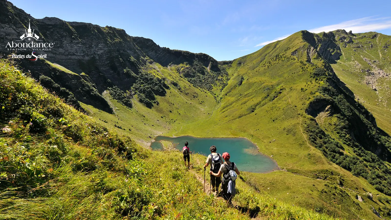
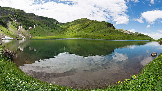
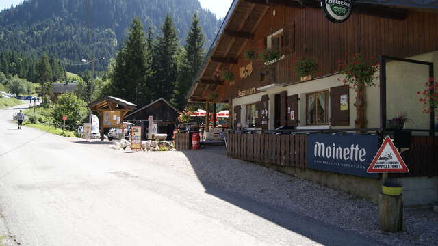
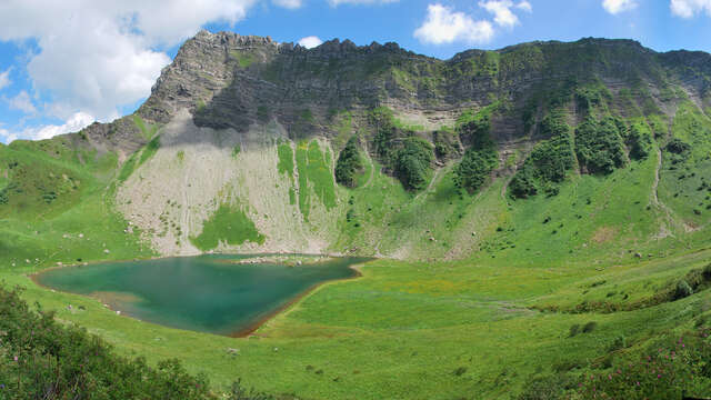
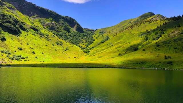
    0/ "Les Plagnes" parking lot 1/ From the parking lot, drive along the north side of the lake, always following the signs for "Chalets d'Ardens". You will pass the signposts for "Lac des Plagnes" and "Cubourré". At the first intersection after "Cubourré", turn right. Then, after the hairpin bends, turn right at "Sous Pointe de Chavache". 2/ At "Chalets d'Ardens", head towards "Lac de Tavaneuse", passing "Les Pirons d'Ardens" and "Entre-Deux-Pertuis". 3/ Descend to Lac de Tavaneuse. 4/ Return by the same route.
866 meters of difference in height
  • Maximum altitude : 1928 m
  • Minimum altitude : 1197 m
  • Total positive elevation : 866 m
  • Total negative elevation : -866 m
  • Max positive elevation : 542 m
  • Min positive elevation : -623 m
Services
  • Equipment
    • Parking
    • Car park
  • Services
    • Pets welcome