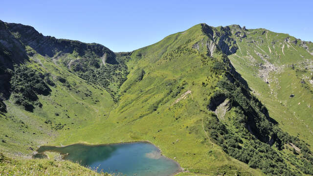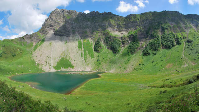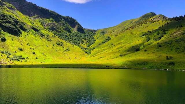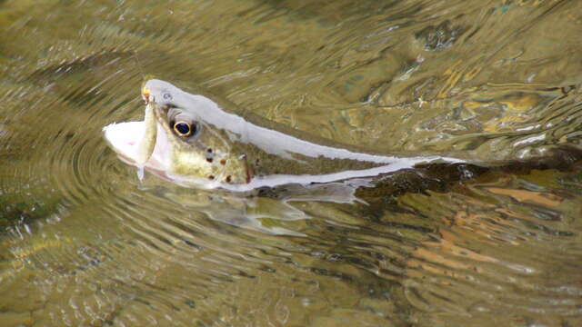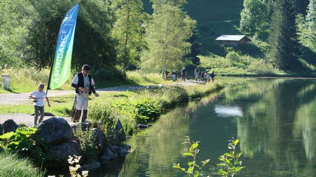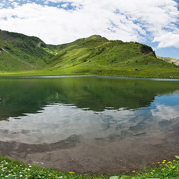
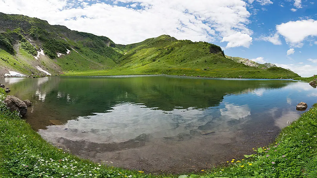
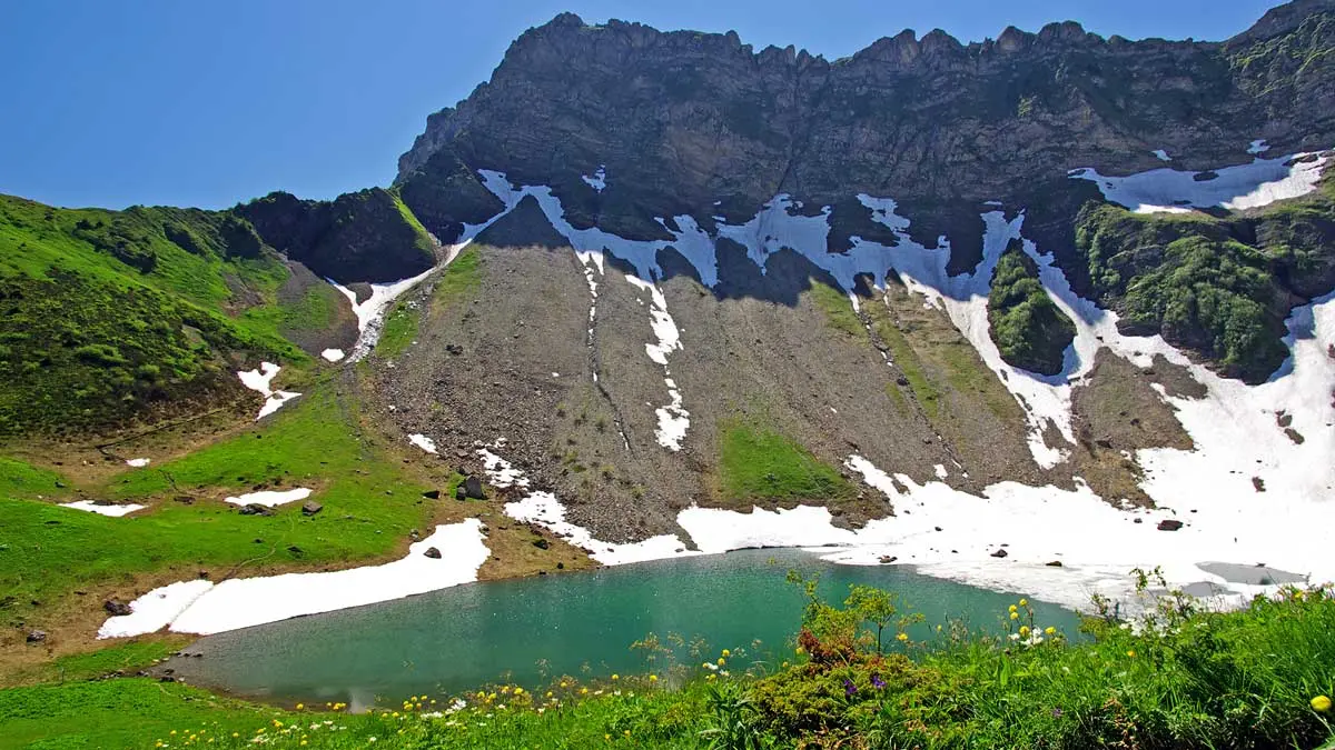
Nestling at the foot of the cliffs at Entre Deux Perthuis, between rocks and Alpine meadows, Tavaneuse lake (1805 m) is without question one of the finest waterways in the Chablais. Anglers are welcome to try fly-fishing at either end of the day...
The majestic Arctic char, fario trout and minnows of Lac de Tavaneuse have to be seen to be believed. You'll only reach the lake after a long walk, starting from Abondance or Montriond:
- From Abondance: 2-hour hike, via the Serranant mountain pasture.
- From Montriond: from Lac de Montriond, take the path to Chalets de Lens, then continue up to Portes de Lens, then Col de Tavaneuse on the right and back down to the lake.
Ascent: 875m.
Lake depth: 6m.
Surface area: 2.5 hectares.
1st category lake.
Fishing difficulty level: moderately difficult.
Fishing permits available from tourist offices.
Openings
From 6 June 2026 until 11 October 2026 - Open everyday
Generally, opening hours run from the 1st Saturday in June to the 3rd Sunday following the 3rd Sunday in September.
Location
Access
Access
- Route D22 to Abondance, then on to Prétairié.
Location to be found on IGN TOP 25 3528 ET map.