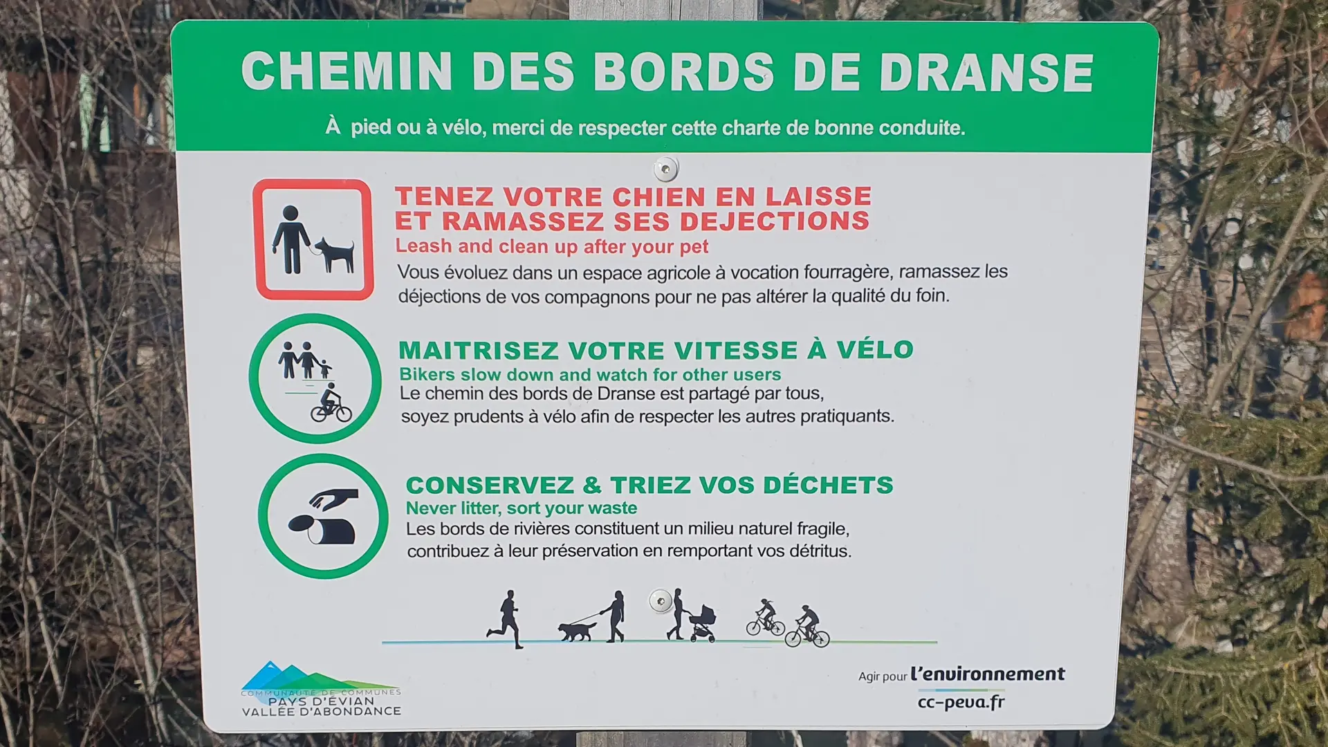
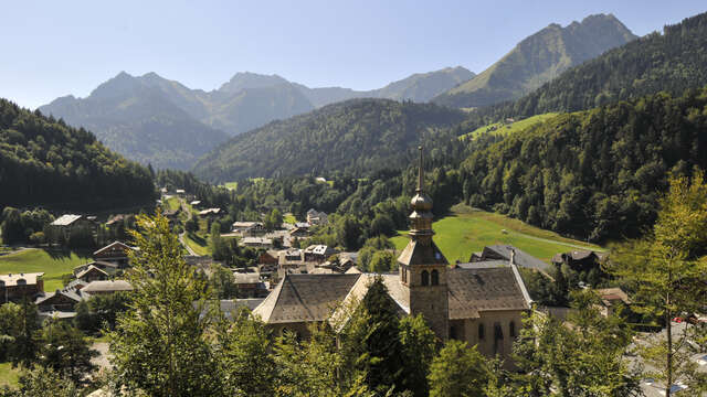
Topo/Schritt für Schritt
Zeit- und Entfernungsangaben für Fußgänger:
1/ Abondance „Village“ 1 Std. 35 Min. / 6,3 km > La Chapelle d’Abondance „Pont de l’Ariot“
2/ La Chapelle d'Abondance „Pont de l'Ariot“ 2 Std. / 7,4 km > Châtel „Le Linga“
3/ Châtel „Le Linga“ 35 Minuten / 2,4 km > Châtel „L'Envers“
4/ Mountainbike/Trekkingrad:
Abfahrtsroute für Mountainbike/Trekkingrad, 15 km, Start in Châtel „Très les Pierres“, Ziel in Abondance „Village“.
Rundtour für Mountainbike, Trekkingrad und E-Bike, 20,6 km, Start in Abondance „Village“, Umkehrpunkt „Le Chon“ in La Chapelle d’Abondance.
Anstiegsroute für Mountainbike, Trekkingrad und E-Bike, 13 km auf leichtem Niveau und 4,1 km auf schwierigem Niveau. Start in Abondance „Village“ > leicht bis Châtel „Le Linga“, dann schwierig bis „L'Envers“.