See photos (3)

Walking itinerary on the banks of the Dranse: From La Chapelle d'Abondance to Abondance

Sport, Pedestrian sports, Hiking itinerary in La Chapelle-d'Abondance
15.7 km
3h 25min
Medium
  • A lovely fifteen-kilometer round trip along the Dranse river between Abondance and La Chapelle d'Abondance. Ideal for families!

  • This itinerary, located in the heart of the Abondance valley, is a beautiful walk along the river that takes you from La Chapelle d'Abondance to Abondance along the Dranse.

    There's no difficulty on this walk, making it ideal for a family outing.

    There are several bus stops along the way, should you wish to make just one trip, or shorten your walk.

    You can also start from the village of Abondance and follow the signs to La Chapelle d'Abondance.

    Along the way, you'll be able to...
    This itinerary, located in the heart of the Abondance valley, is a beautiful walk along the river that takes you from La Chapelle d'Abondance to Abondance along the Dranse.

    There's no difficulty on this walk, making it ideal for a family outing.

    There are several bus stops along the way, should you wish to make just one trip, or shorten your walk.

    You can also start from the village of Abondance and follow the signs to La Chapelle d'Abondance.

    Along the way, you'll be able to observe the mountains of the Abondance valley and their alpine pastures, as well as the traditional habitat. You'll pass an old bread oven. You may even come across some Abondance cows in the meadows along the way.

    Picnic tables and benches make this a pleasant place to stroll on hot summer days.

    Marking details : Departmental PDIPR signposting on beige metal panels with green lettering.

    Map references : Portes du Soleil hiking map in France and Switzerland
    TOP 25 IGN N°3528 ET Morzine Massif du Chablais Les Portes du Soleil.

    Whatever your hike, remember to take cereal bars, sufficient water, sunglasses, sun cream, a small first aid kit, as well as clothes adapted to your outing according to the season and the weather forecast.
  • Guidebook with maps/step-by-step
    1/ Start: Car park opposite the La Chapelle d'Abondance school.
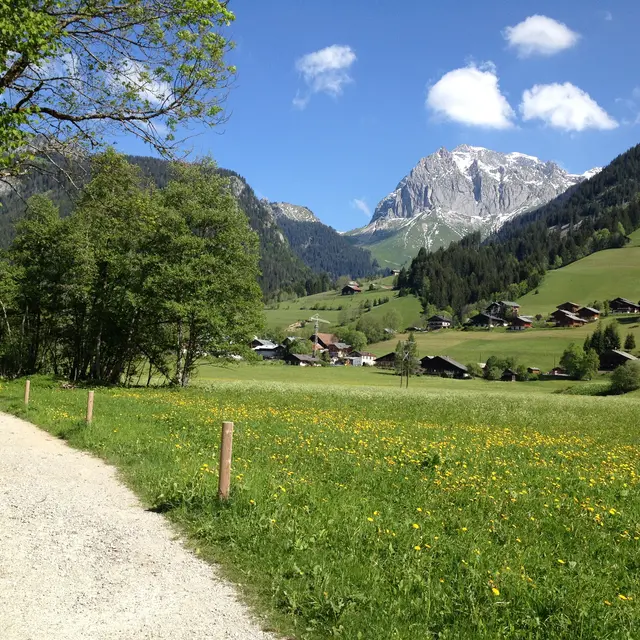
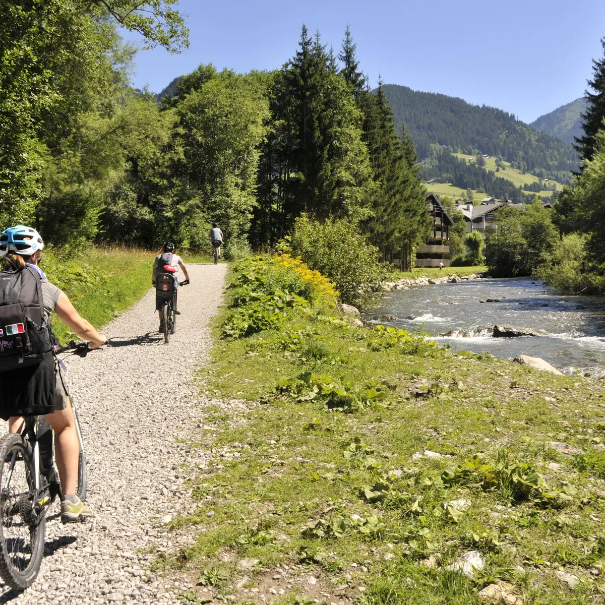
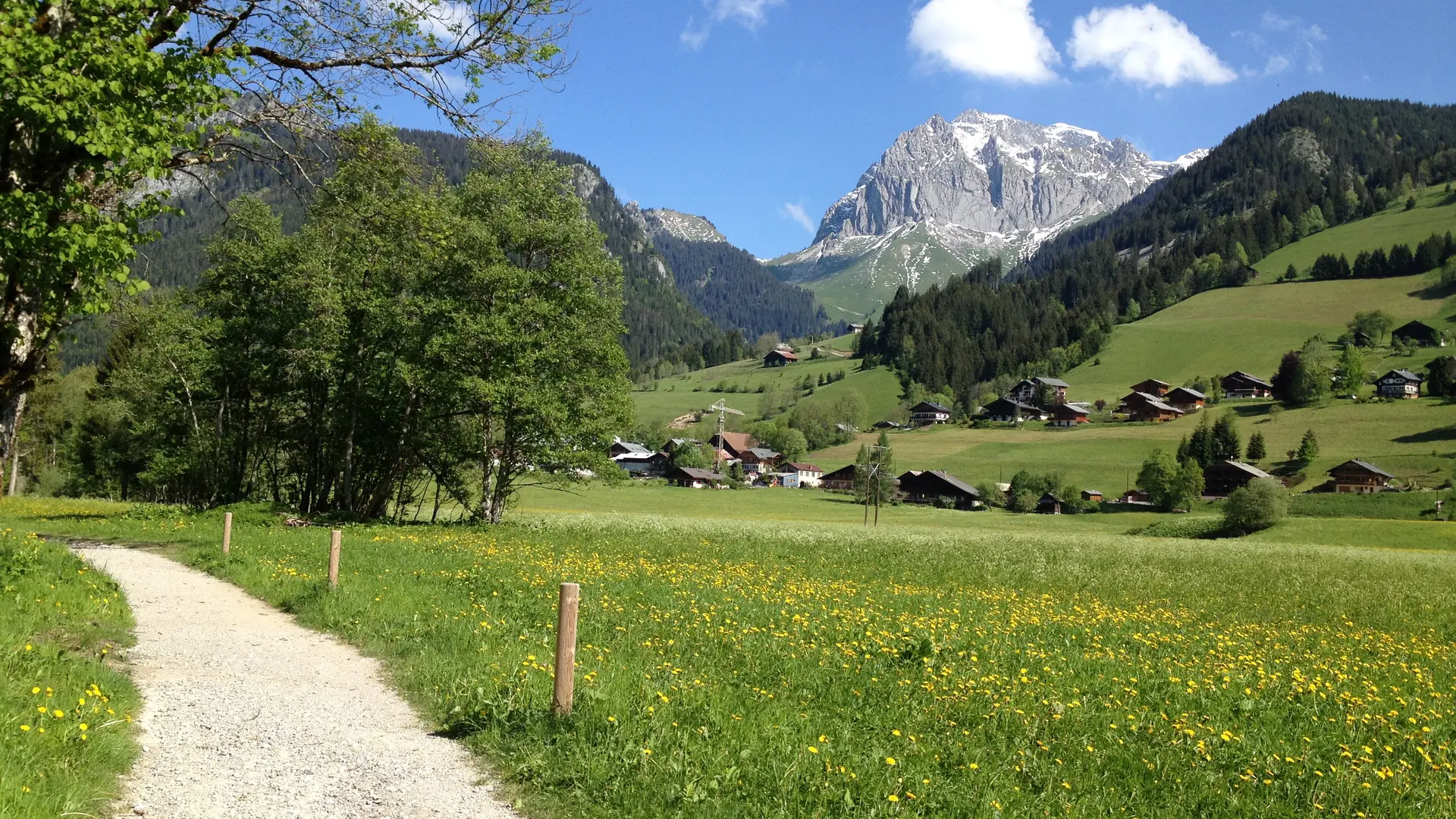
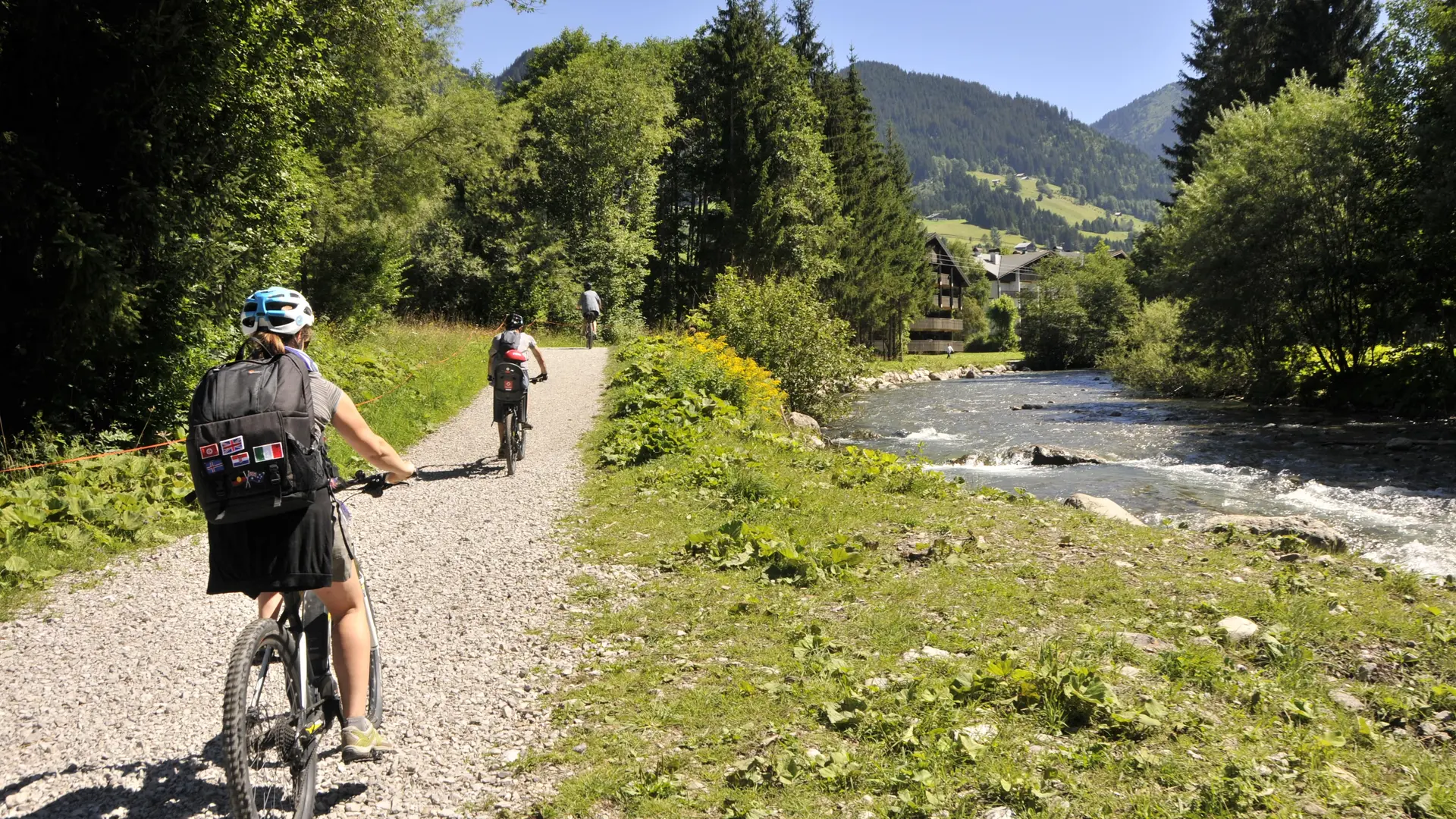
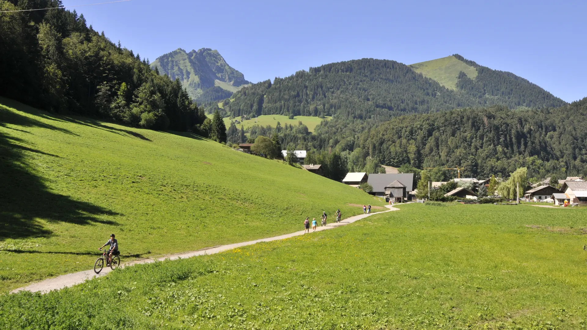
    2/ From the parking lot, take the path on the right towards "Abondance" along the banks of the Dranse to reach the "Pont de l'Ariot".
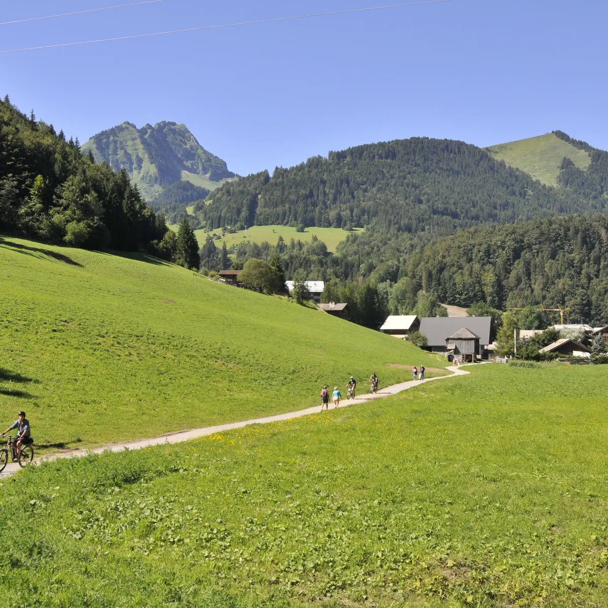
    3/ From "Pont de l'Ariot" follow the signs for "Abondance", passing the following signposts and signposts: "Pont des Contamines", "Pont à Camille", "Miolène", "Les Ogay", "Les Carres", before reaching the village of Abondance.
    4/ From the village of Abondance, follow the same route back to La Chapelle d'Abondance and your starting point.
  • Departure
    La Chapelle-d'Abondance
  • Difference in height
    271 m
  • Access (car) : From Abondance head for La Chapelle d'Abondance. In the village of La Chapelle d'Abondance, park you car in the parking lot in front of the school. You can either do this hike from La Chapelle d'Abondance or Abondance.
  • Plain text period
    From 01/05 to 30/11.
    Please check with the Tourist Office beforehand for current access conditions.

    Subject to favorable snow and weather conditions.
  • Environment
    • Riverside
    • Forest location
    • Mountain view
    • Mountain location
    • Village centre
    • Village 2 km away
    • Waterside
    • Overview on river
  • Documentation
    GPX / KML files allow you to export the trail of your hike to your GPS (or other navigation tool)
  • Activities
    • Minimum age (in years) :  4
271 meters of difference in height
  • Maximum altitude : 1031 m
  • Minimum altitude : 928 m
  • Total positive elevation : 271 m
  • Total negative elevation : -271 m
  • Max positive elevation : 55 m
  • Min positive elevation : -46 m
Services
  • Equipment
    • Picnic area
    • Car park
    • Parking nearby
    • Free car park
  • Services
    • Pets welcome
      • Dogs must be kept on a leash (mountain bikers and many hikers pass by depending on the period).
    • Coach access
    • Restaurant
    • Stroller-accessible
Close